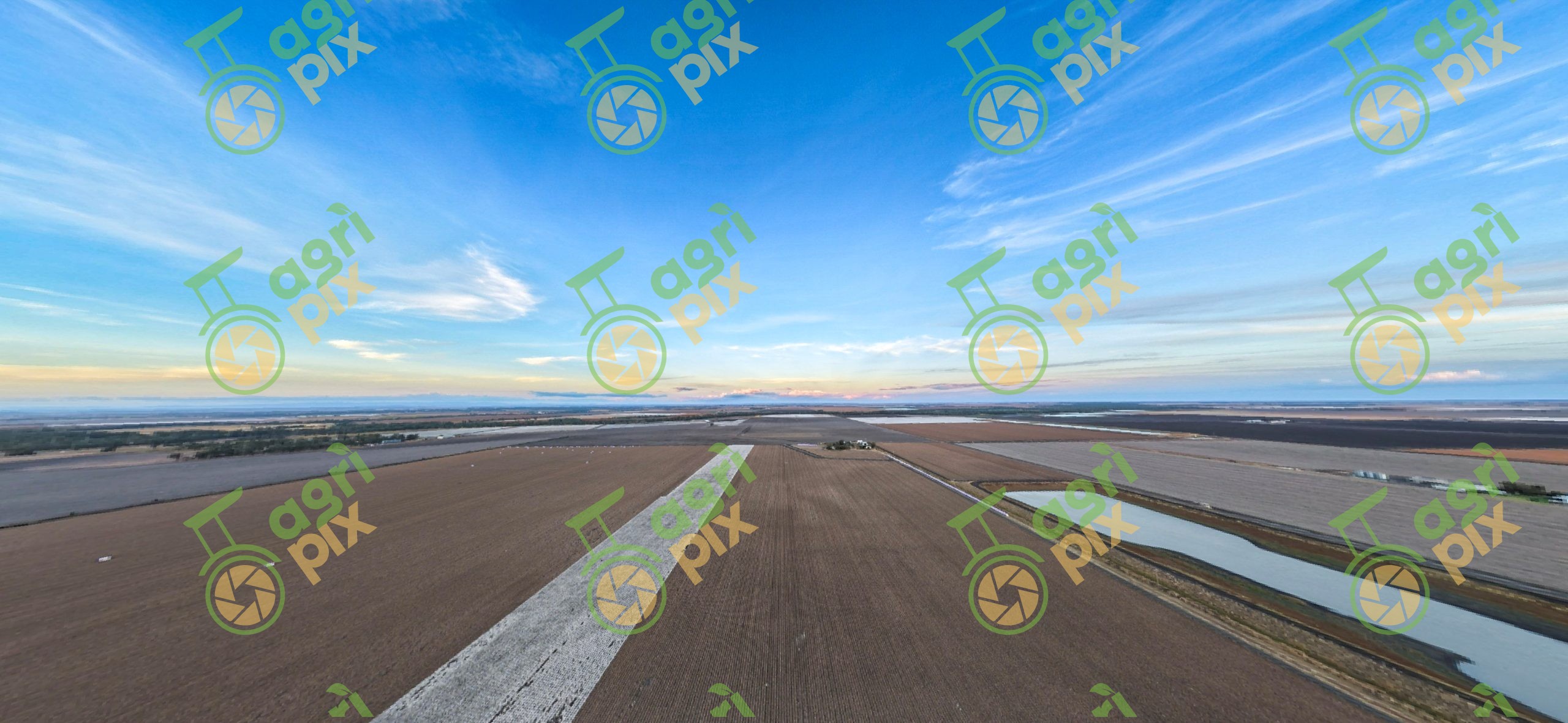
Aerial View of Cotton Fields on the Darling Downs, Queensland Katie Robertson
A high-altitude drone view captures the immense scale of cotton farming across Queensland's Darling Downs, where expansive fields stretch uninterrupted to the distant horizon beneath a vibrant blue evening sky. Long, geometric paddocks create a striking patchwork of cultivated land, while a bright white strip of mature cotton stands in sharp contrast against the darker harvested and growing fields. Farm roads, irrigation storages and scattered shelterbelts add subtle detail to the carefully managed agricultural landscape. The elevated perspective highlights the precision of modern broadacre farming, with straight field boundaries and carefully planned layouts demonstrating efficient land management. Soft pastel colours along the horizon suggest either sunrise or sunset, adding warmth and depth to this peaceful rural panorama.
The Darling Downs is one of Australia's most productive agricultural regions and a major centre for irrigated cotton production. Fertile black cracking clay soils, reliable water infrastructure and advanced farming technology support high-yield cotton crops alongside wheat, sorghum, chickpeas and beef enterprises. Drone imagery provides a unique perspective of the scale, organisation and productivity that characterise this internationally significant farming region.