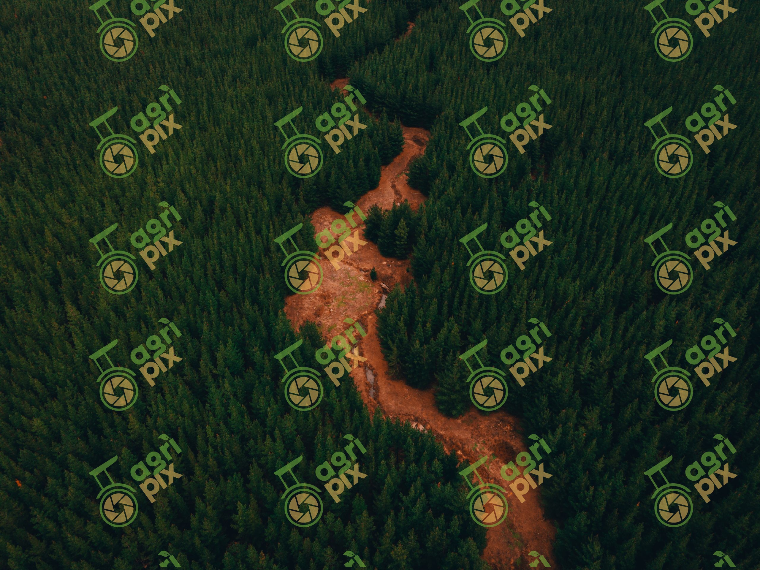
Drone View of Watercourse Through Pine Plantation at Mount Crawford Forest, South Australia Patrick Prior
An aerial drone view looks across dense pine plantation surrounding a winding watercourse in Mount Crawford Forest, South Australia. Dark green conifers form an almost continuous canopy across the landscape. An irregular corridor of exposed reddish ground cuts through the trees and creates a strong natural contrast. Scattered young pines and vegetation occupy parts of the open corridor. The elevated perspective reveals the density and uniformity of the surrounding plantation. Irregular edges along the clearing soften the otherwise ordered pattern of commercial forestry. The watercourse itself appears largely dry or obscured in this photograph, with exposed ground dominating the visible channel. This landscape demonstrates how drainage lines and waterways intersect with plantation forestry environments.
Mount Crawford Forest lies northeast of Adelaide and contains extensive areas of commercial plantation forestry alongside native vegetation. Forestry contributes timber and fibre to construction, manufacturing and other industries. Managing waterways, soils and surrounding vegetation forms an important part of sustainable plantation forestry.